
Leica Geosystems Laser Levels
Leica Geosystems Laser Levels are the epitome of precision and innovation in surveying and construction technology. Renowned for their accuracy, these laser levels are indispensable for professionals. They offer a range of advanced features, including rotary and line lasers, engineered for efficiency and ease. The robust construction and user-friendly design make them the preferred choice for demanding projects. Ideal for surveying, construction, and civil engineering, Leica Geosystems ensures exact measurements and alignments, streamlining workflows and enhancing project outcomes.- Brand: Leica Geosystems
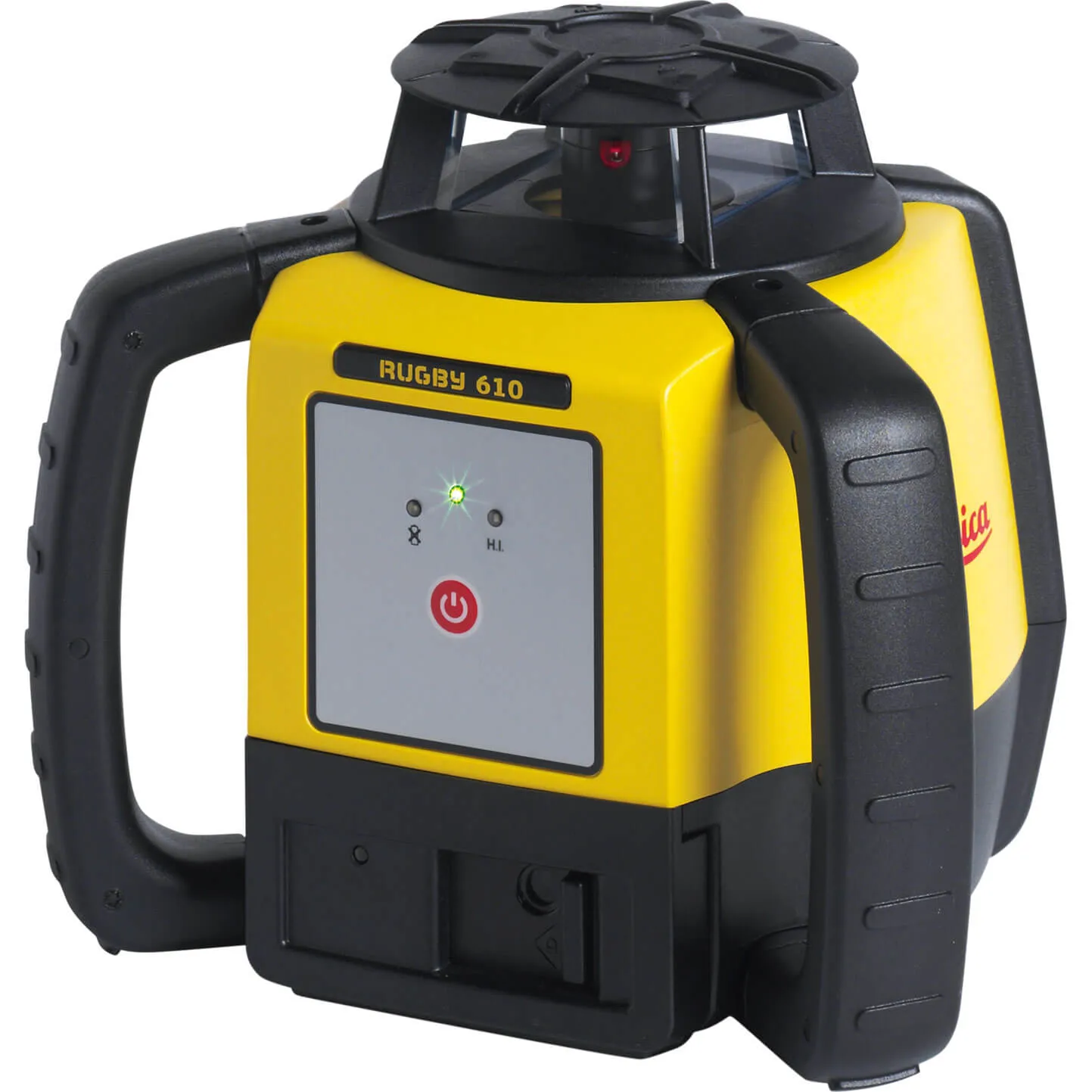
Leica Geosystems Rugby 610BL Rotating Self Levelling Laser Level
from £840.00
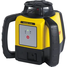
Leica Geosystems Rugby 610BA Rotating Self Levelling Laser Level
from £787.99